UCAN FLY - AERIAL INNOVATION
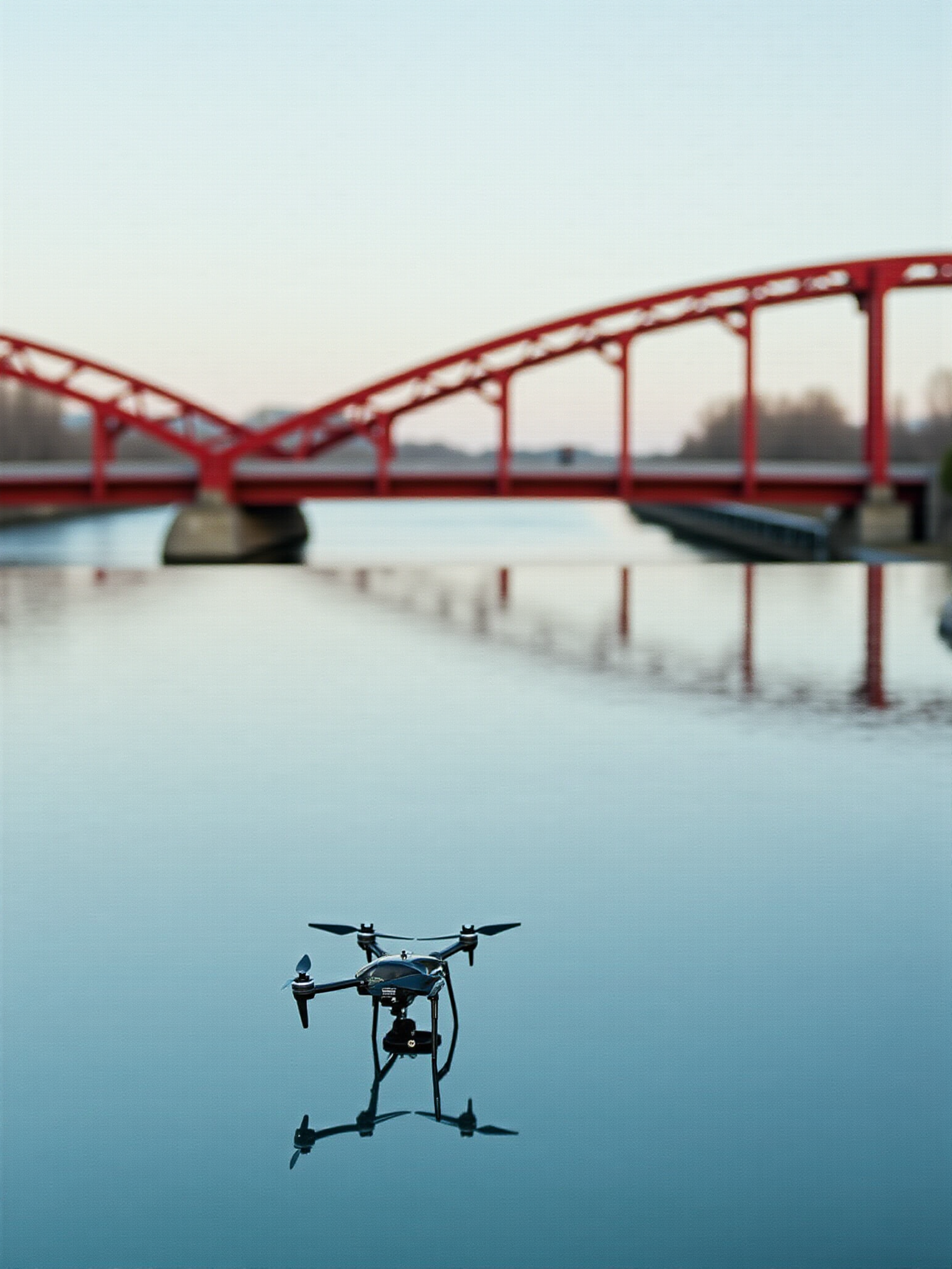
UCAN FLY is a local drone company based in Calgary. We provide aerial photography, video production, and 3D landscape modeling for real estate, construction, and outdoor projects. Our drone is registered with Transport Canada, and all flights are performed by a certified RPAS pilot under Basic Operations Certificate.
AERIAL PHOTOGRAPHY & VIDEO PRODUCTION
UCAN FLY offers cutting-edge aerial photography and video production services using state-of-the-art drones equipped with high-resolution cameras. Our team specializes in capturing stunning aerial footage for various purposes, including real estate showcasing, construction progress tracking, and outdoor event coverage.

3D LANDSCAPE MODELING
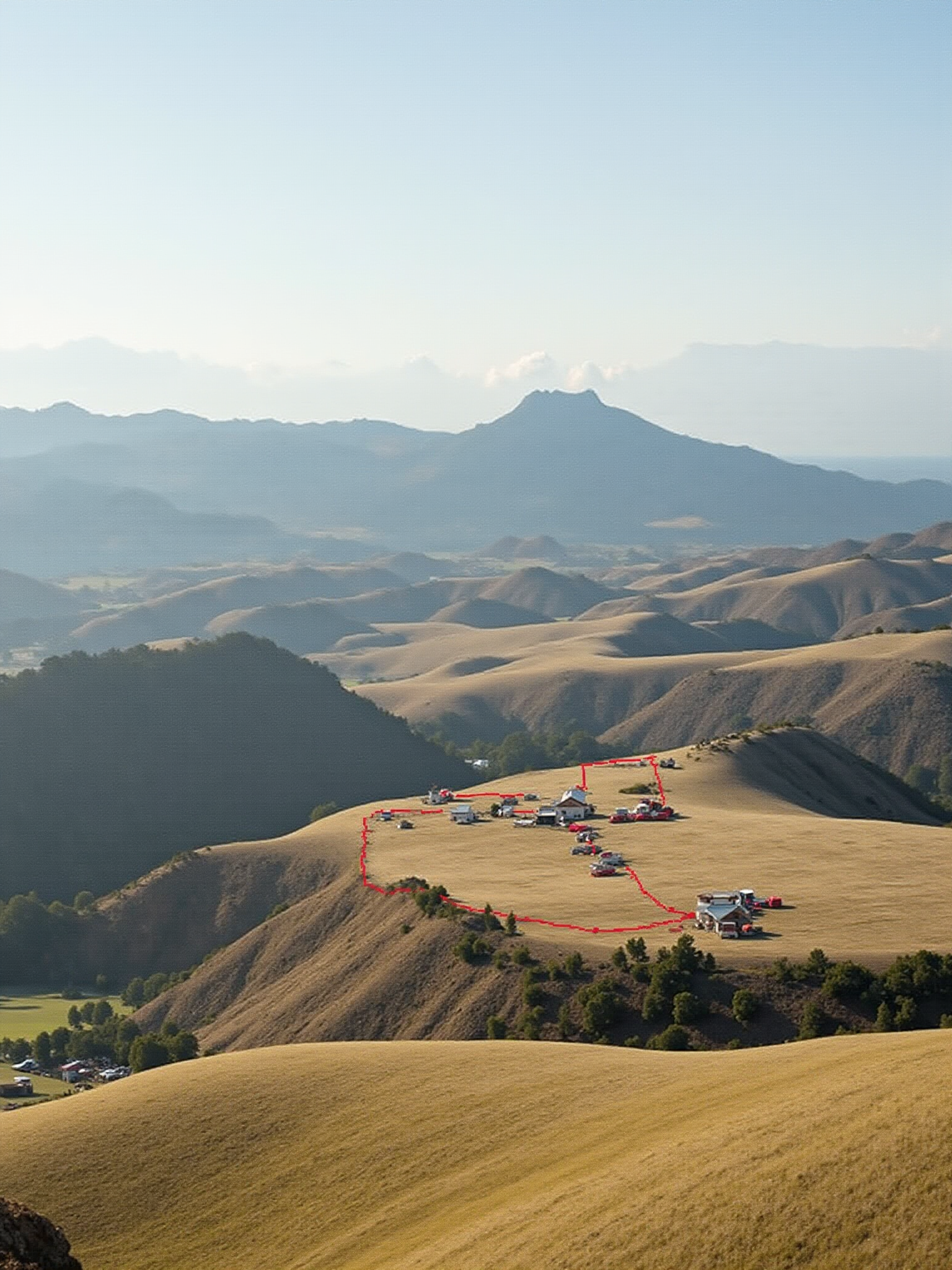
Transforming landscapes into digital 3D models, UCAN FLY utilizes advanced drone technology to create highly accurate and detailed representations of terrain, buildings, and infrastructure. These models are invaluable for urban planning, architectural visualization, and environmental monitoring.
TRANSPORT CANADA COMPLIANCE
Committed to safety and professionalism, UCAN FLY operates strictly within the regulations set by Transport Canada. Our drones are registered, and all aerial operations are conducted by certified RPAS pilots, ensuring adherence to the highest standards of safety and legal compliance.
AUTONOMOUS DRONE NAVIGATION
Through our innovative app, UCAN FLY empowers drones to navigate autonomously, leveraging real-time data and situational awareness to make intelligent decisions during flight. This technology enhances the efficiency and precision of aerial missions, making it ideal for surveying, mapping, and infrastructure inspection.
DATA SECURITY & PRIVACY
At UCAN FLY, we prioritize the security and privacy of data collected during drone operations. Our advanced cybersecurity measures safeguard sensitive information, ensuring that data transmission and storage adhere to the highest standards of protection and confidentiality.
REAL-TIME FLIGHT INSIGHTS
UCAN FLY's digital platform provides real-time insights into drone flights, offering clients valuable information on mission progress, environmental conditions, and operational metrics. This transparency enables informed decision-making and enhances the overall effectiveness of aerial projects.